

Rosendale Trestle and the Wallkill Valley Rail Trail
The Rosendale Trestle is the former railroad bridge that carries the Wallkill Valley Rail Trail across the Rondout Creek in Rosendale, and the Wallkill Valley Land Trust's parking lot for it is on Binnewater Road, about 0.3 miles up from Main Street. The trail is open daily from dawn to dusk year-round, and on the land trust's map the trestle falls between mile markers 15 and 16, about seven miles north of downtown New Paltz.
How big is the Rosendale Trestle?
The numbers vary by publisher. The Wallkill Valley Land Trust, which took ownership of the trestle with the rail bed through Rosendale and Ulster in 2009, lists it as a 940-foot bridge across the Rondout Creek. The Shawangunk Mountains Scenic Byway describes it as about 150 feet tall and about 900 feet long.
A railroad bridge first crossed the creek here in 1872, according to the land trust's histories, the last train crossed in 1977, and the trestle opened to the public as part of the rail trail on June 29, 2013. In engineering terms it is a viaduct: a 2020 land trust history by Matt Kierstead and Vals Osborne explains that its spans rest on separate piers and towers, where a true trestle sits on many closely spaced supports.
Main Street in Rosendale, Route 213, runs right under the bridge, and the land trust's directions tell drivers to look up as they pass beneath it.
Where do you park for the Rosendale Trestle?
The land trust's lot is the Rosendale Trestle/Binnewater Kiln Parking Lot, GPS 41.84823, -74.08808, and its printable map shows the lot beside the trail just north of the bridge. From New Paltz, the land trust's directions start at NYS Thruway Exit 18:
- Turn left at the light onto Route 299 (Main Street), then right at the first light onto North Putt Corners Road.
- After 1.4 miles, turn left onto Shivertown Road, follow it down the hill and turn right at the blinking light onto Route 32 North.
- After 5.9 miles, cross the blue bridge and turn left onto Main Street in Rosendale (Route 213 West).
- Pass under the trestle and make an immediate right onto Binnewater Road. The lot is on the left about 0.3 miles up.
Where else can you park for the Wallkill Valley Rail Trail?
The land trust names four places to park along the 22+ mile trail. From north to south, with drive times from Farmers Choice New Paltz at Exit 18 by OpenStreetMap and OSRM estimates:
- Kingston, Rockwell Lane. A gravel lot at the northern end, reached from Route 32 by Rockwell Terrace, GPS 41.91026, -74.02134. About 15 miles and 25 minutes.
- Rosendale, Binnewater Kiln lot. On Binnewater Road beside the trestle. About 10 miles and 20 minutes.
- New Paltz, Sojourner Truth Park. On Plains Road, reached from Route 299 by South Chestnut Street (Route 208) and Mohonk Avenue, GPS 41.74301, -74.09299. About 2 miles and 5 minutes.
- Gardiner, Second Street. With no designated parking at the southern end, the land trust points to a lot on Second Street, opposite the trail and 2.5 miles north of the end. About 9 miles and 15 minutes.
The printable map marks parking in a few more places along the line, including by the New Paltz business district and near Phillies Bridge Road, north of Main Street in Gardiner.
Where is the Rosendale Trestle on the Wallkill Valley Rail Trail map?
The land trust publishes a printable map and an interactive one. The printable map numbers mile markers 1 to 21 from south to north, starting south of Gardiner and ending near the Rockwell Lane lot. Downtown New Paltz sits around mile marker 8, the bridge over the Wallkill River near Springtown Road falls between markers 10 and 11, and the trestle falls between markers 15 and 16, which puts it about seven miles north of downtown New Paltz by trail.
The interactive map adds points such as benches, bridges and bike repair stations, with photos and details. The land trust also calls the trestle a notable place to visit along the 750+ mile Empire State Trail.
What are the rules on the Wallkill Valley Rail Trail?
The land trust keeps the trail multi-use and open daily, year-round and free of charge from dawn until dusk, for walkers, hikers, joggers, bicyclists, equestrians, dog walkers, cross-country skiers and snowshoers. The surface is unpaved stone. These are its posted rules.
Everyone:
- No motorized vehicles at any time.
- Be alert and respectful of other users, and use caution at road crossings.
- Stay on the trail where it passes private property.
- Keep to the right so others can pass, and always yield to equestrians.
- Keep dogs leashed at all times and clean up after your animals.
- Carry in, carry out: take your trash with you.
Cyclists:
- Class 1 pedal-assist e-bikes are the only e-bikes permitted.
- Ride at a moderate speed, 15 miles an hour at most.
- Alert other users when you approach from behind.
Equestrians:
- Dismount and walk your horse across the trestle.
- The bridge over the Wallkill River just south of Springtown Road in New Paltz is closed to all equestrian passage at this time.
The land trust's site listed no other current closure or detour in late October 2026, and the land trust takes reports of downed trees, erosion and other trail damage through its WVRT Conditions Report form. The Springtown Road bridge belongs to the Town of New Paltz, whose highway superintendent said in July 2025 that notice of any physical closures would be posted on the town website.
Keep a purchase sealed until home
The trail is no place to open a bag from the store, and neither is the car in the Binnewater lot. New York's Office of Cannabis Management says neither the driver nor a passenger may open cannabis packaging inside a vehicle, and that smoking cannabis in a vehicle is illegal, with a parked car counting the same as a moving one. A purchase rides home sealed, back under the trestle and down Route 32, and our New York cannabis laws guide lists where consumption is and is not allowed.
Farmers Choice New Paltz at Exit 18
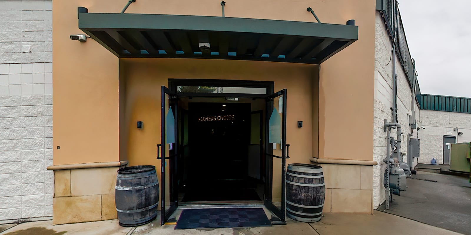
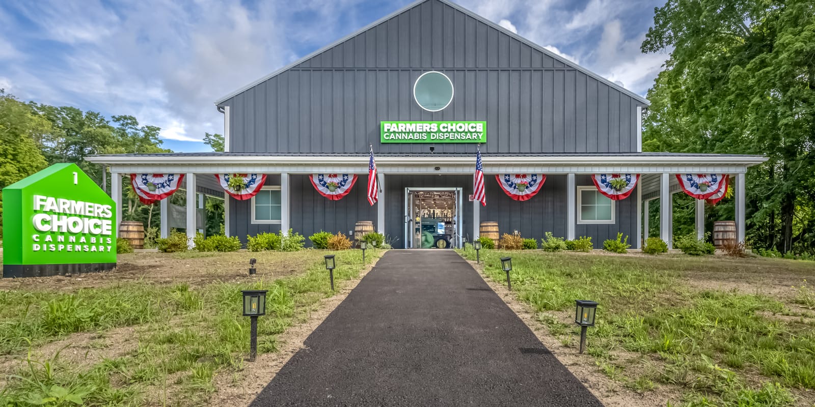
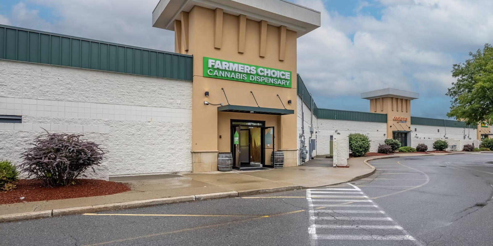
The land trust's directions above begin at the interchange the store sits on. Farmers Choice New Paltz is at 1 Old Route 299, the barn right at NYS Thruway Exit 18, so the drive to Binnewater Road starts at the store's own exit, and Route 32 brings you back into New Paltz for the last stretch of Route 299 east to the store. It keeps 8AM to 10PM hours Sunday to Wednesday and 8AM to 11PM hours Thursday to Saturday, has about 35 to 37 parking spaces and EV charging on the lot, and asks every visitor for a valid government-issued photo ID showing 21 or older. Inside, a Farm Hand will read a label with you and answer whatever you want to ask.
For a second late-fall walk, our guide to Sam's Point Preserve covers weekend parking reservations and trail distances at the southern end of Minnewaska. Order Now from the New Paltz menu before you leave for Binnewater Road or once you are home from the walk; most orders are ready inside an hour.
Questions & answers
Where do you park for the Rosendale Trestle?
At the Wallkill Valley Land Trust's Rosendale Trestle/Binnewater Kiln Parking Lot on Binnewater Road, GPS 41.84823, -74.08808. Coming from New Paltz on Route 32, cross the blue bridge, turn left onto Main Street (Route 213 West) in Rosendale, pass under the trestle, turn right onto Binnewater Road and look for the lot on the left about 0.3 miles up.
How tall is the Rosendale Trestle?
About 150 feet, according to the Shawangunk Mountains Scenic Byway, which also puts its length at about 900 feet. The Wallkill Valley Land Trust gives the length as 940 feet. A railroad bridge first crossed the Rondout Creek here in 1872, and the trestle opened to the public as part of the Wallkill Valley Rail Trail on June 29, 2013.
What are the Wallkill Valley Rail Trail hours?
Dawn to dusk, every day of the year. The Wallkill Valley Land Trust keeps the 22+ mile trail open daily and year-round for walkers, hikers, joggers, bicyclists, equestrians, dog walkers, cross-country skiers and snowshoers. The surface is unpaved stone.
Are e-bikes allowed on the Wallkill Valley Rail Trail?
Only Class 1 pedal-assist e-bikes. The land trust prohibits all other e-bikes and motorized vehicles, asks cyclists to ride at a moderate speed of 15 miles an hour at most, and to alert other users when approaching from behind. Its rules for all users add: stay to the right so others can pass, and always yield to equestrians.
Is there a Wallkill Valley Rail Trail map with mile markers?
Yes. The Wallkill Valley Land Trust posts a printable map and an interactive map on wallkillvalleylt.org. The printable map numbers mile markers 1 to 21 from the southern end of the trail, south of Gardiner, to the northern end near Rockwell Lane, marks parking, and places the Rosendale Trestle between markers 15 and 16.
Sources
- Wallkill Valley Land Trust, Wallkill Valley Rail Trail, wallkillvalleylt.org/wvrt/
- Wallkill Valley Land Trust, WVRT Directions, wallkillvalleylt.org/wvlt_directions/
- Wallkill Valley Land Trust, Rail Trail map, wallkillvalleylt.org/wp-content/uploads/2020/05/WVLT-Brochure-RT-scaled.jpg
- Wallkill Valley Land Trust, Wallkill Valley Rail Trail Interactive Map, wallkillvalleylt.org/wallkill-valley-rail-trail-interactive-map/
- Wallkill Valley Land Trust, WVRT Conditions Report, wallkillvalleylt.org/wvrt-conditions-report/
- Wallkill Valley Land Trust, Celebrating a Milestone Anniversary of the Wallkill Valley Rail Trail: the Opening of the Rosendale Trestle, wallkillvalleylt.org/2024/06/celebrating-a-milestone-anniversary-of-the-wallkill-valley-rail-trail-the-opening-of-the-rosendale-trestle/
- Wallkill Valley Land Trust, A Celebration of the Rosendale Trestle, wallkillvalleylt.org/2020/11/a-celebration-of-the-rosendale-trestle/
- Wallkill Valley Land Trust, Expect Engineers on Rail Trail, wallkillvalleylt.org/2025/07/engineers-on-rail-trail/
- Shawangunk Mountains Scenic Byway, Northern Loop, mtnscenicbyway.org/explore-the-byway/northern-loop/
- New York State Office of Cannabis Management, Adult-Use Information, cannabis.ny.gov/adult-use-information
- OpenStreetMap contributors and OSRM, driving time estimates, project-osrm.org/
Keep reading
Things to Do in Hyde Park, NY: FDR, Vanderbilt, and Where to Eat
Things to do in Hyde Park, NY this fall: FDR Library hours, Home of FDR and Vanderbilt Mansion tours, the Culinary Institute's restaurants, Route 9 food.
Sam's Point Preserve Before Winter
Sam's Point Preserve before winter: the Ice Caves Trail, weekend parking reservations through November 15, trail distances and the drive from New Paltz.
Poughkeepsie Restaurants: On the Water, Near the Train, and Open Late
Poughkeepsie restaurants by situation: on the river, near the train station, lunch and brunch, and open late, with posted hours and the drive to New Paltz.


